7-Day Machame Route
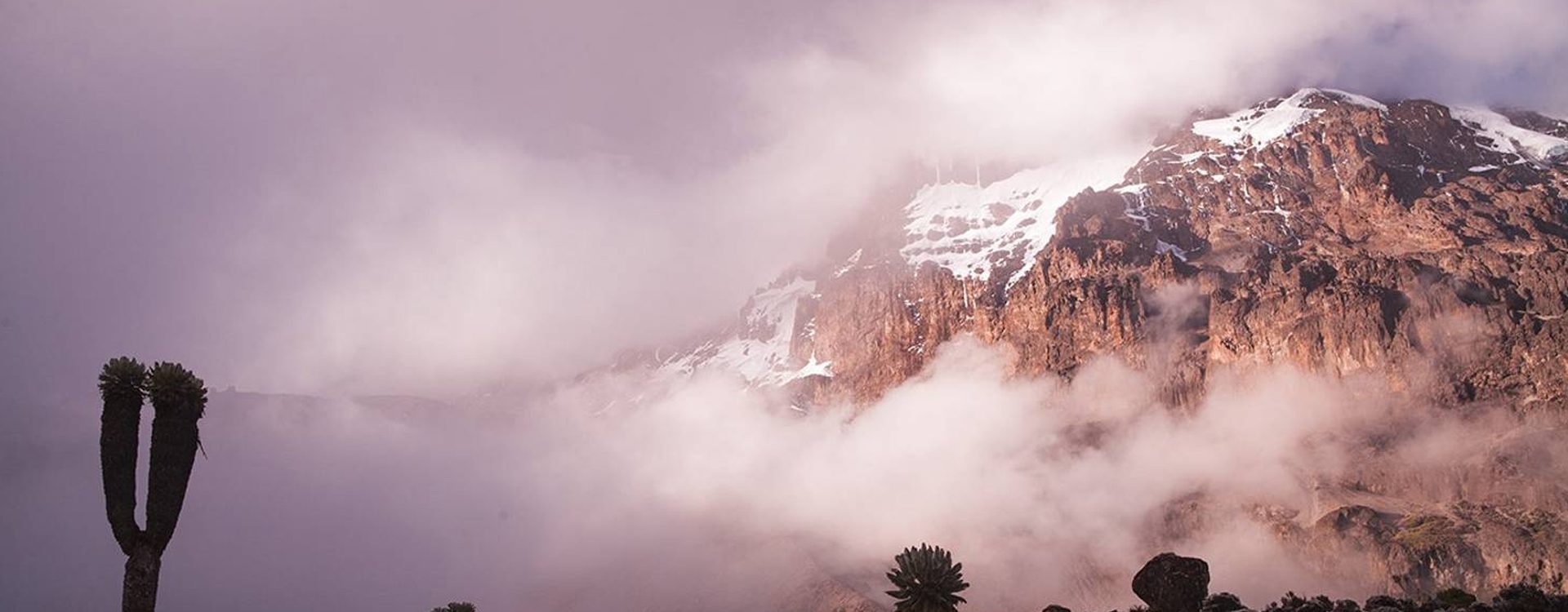
The most well-liked route up Kilimanjaro is the Machame route, also referred to as the “Whiskey” route. Machame’s scenic beauty is one of its draws. The trail is regarded as difficult, steep, and challenging, especially given its condensed route. As a result, those who are more daring or who have some high-altitude, hiking, or backpacking experience would benefit most from taking this route.
The journey begins with a brief drive from Moshi to Machame Gate as it makes its way toward Mount Kilimanjaro from the south. To get to Shira Plateau, hikers must travel through a rain forest. Numerous Kilimanjaro routes come together here. Before summiting from Barafu, the route then turns east and travels alongside Kilimanjaro’s Southern Ice Field along a route known as the Southern Circuit. The Mweka route is used for the descent.
Day by Day Overview
Elevation: 5,380 ft to 9,350 ft
Hiking Time: 5-7 hours
Distance: 11 km | 7 miles
Habitat: Rain Forest
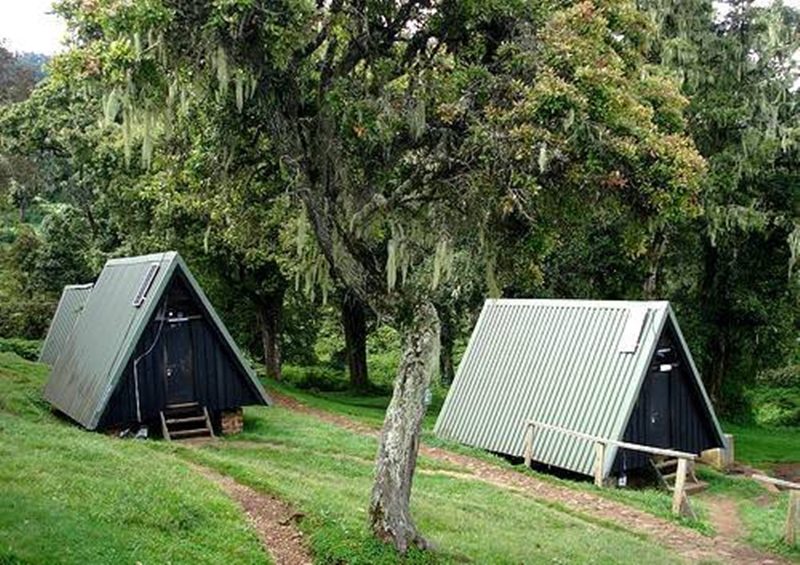
About 50 minutes are needed for the drive from Moshi to the Machame Gate. The village of Machame, which is situated on the mountain’s lower slopes, is traversed during the journey. We travel through a thick rain forest on a winding trail up a ridge until we reach the Machame Camp as we exit the park gate.
Elevation: 9,350 ft to 12,500 ft
Hiking Time: 4-6 hours
Distance: 5 km | 3 miles
Habitat: Health
We leave the glades of the rain forest and proceed up a path that climbs to a rocky, steep ridge. We travel across a wide river gorge to reach Shira 2 Camp on the Shira Plateau after passing through open moorlands and heather.
Shira 2 Camp to Lava Tower
Elevation: 12,500 ft to 15,190 ft
Hiking Time: 4-5 hours
Lava Tower to Barranco Camp
Elevation: 15,190 ft to 13,044 ft
Hiking Time: 2-3 hours
.
Distance: 7 km | 4 miles
Habitat: Alpine Desert
.
Distance: 3 km | 2 miles
Habitat: Alpine Desert
We continue eastward along a ridge before turning southeastward in the direction of the 300-foot-tall Lava Tower, a volcanic rock formation. We descend to an elevation of 13,000 feet before entering the strange but lovely Senecio Forest. Even though you start and end each day at the same elevation, spending time at a higher altitude helps your body adjust to the higher altitude.
Elevation: 13,044 ft to 13,106 ft
Hiking Time: 4-5 hours
Distance: 5 km | 3 miles
Habitat: Alpine Desert
We start the day by making our way down a ravine to the Great Barranco Wall’s base. Then we ascend the nearly 900-foot cliff, which is not technically difficult. We travel through a number of hills and valleys after leaving the top of the Barranco Wall before making a sharp turn into the Karanga Valley. We have one more steep ascent before we reach Karanga Camp. Acclimatization is the goal of today’s shorter day.
Elevation: 13,106 ft to 15,331 ft
Hiking Time: 4-5 hours
Distance: 4 km | 2 miles
Habitat: Alpine Desert
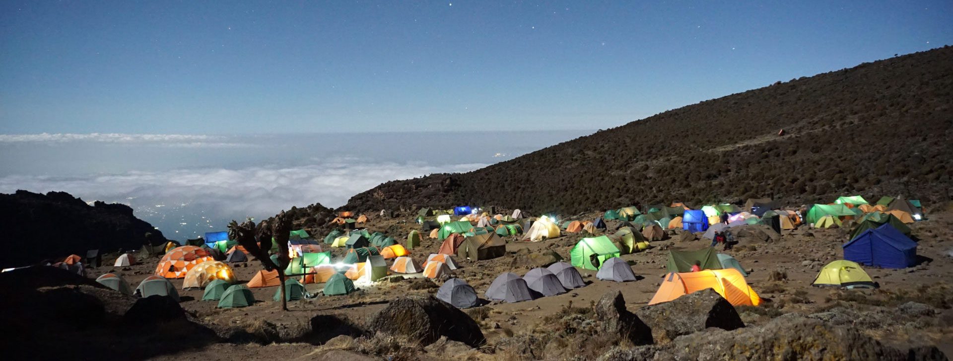
After leaving Karanga, we arrive at the intersection where the Mweka Trail joins it. We keep going up the rocky slope to Barafu Hut. You have now finished the Southern Circuit, which provides views of the summit from a variety of angles. We set up camp here, take a nap, and eat a leisurely dinner before the summit day. From here, one can see Mawenzi and Kibo, the two peaks.
Barafu Camp to Uhuru Peak
Elevation: 15,331 ft to 19,341 ft
Hiking Time: 7-8 hours
Uhuru Peak to Mweka Camp
Elevation: 19,341 ft to 10,065 ft
Hiking Time: 4-6 hours
.
Distance: 5 km | 3 miles
Habitat: Arctic
.
Distance: 12 km | 7 miles
Habitat: Rain Forest
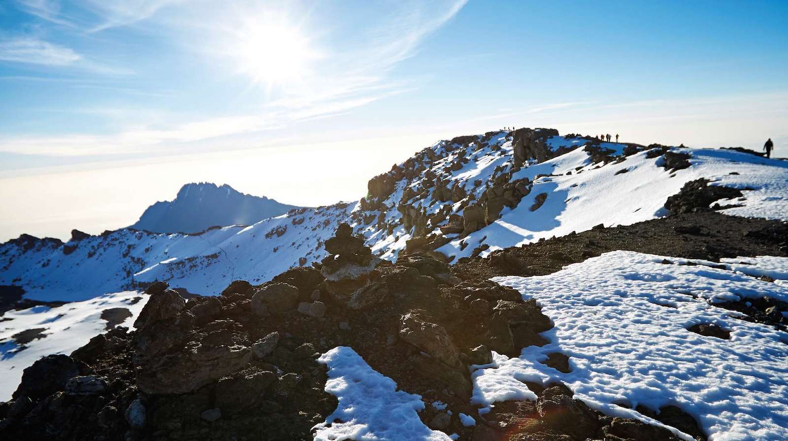
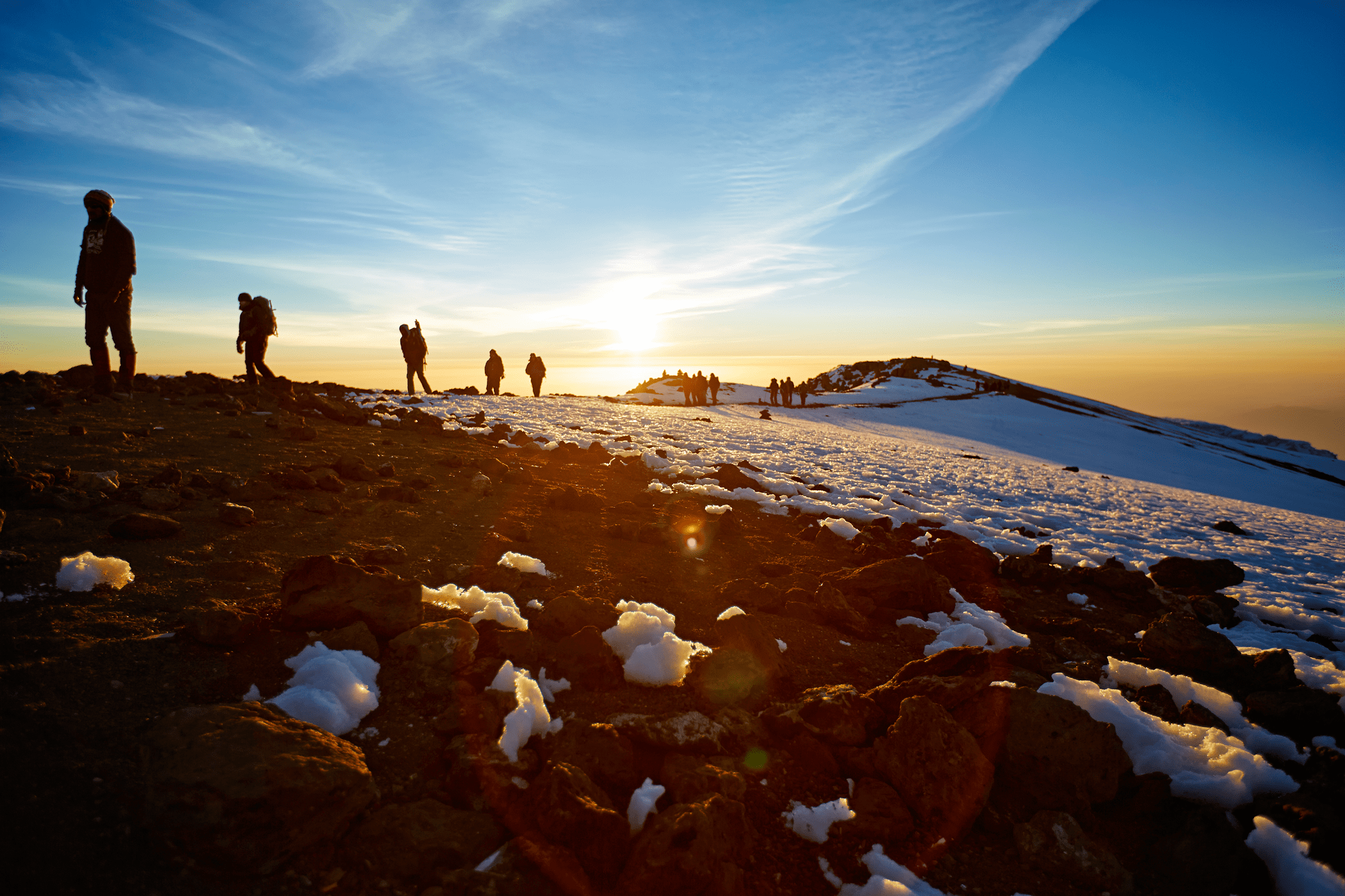
We start the ascent very early in the morning (around midnight). The hardest part of the trek both physically and mentally is this section. At this altitude and time of day, the wind and cold can be very strong. We climb in the dark for several hours, stopping frequently but only briefly. You will be rewarded with the most breathtaking sunrise you are ever likely to see approaching Mawenzi Peak close to Stella Point (18,900 feet). Finally, we reach Uhuru Peak, which is both Mount Kilimanjaro’s and Africa’s highest point.
We now begin our descent from the summit, going straight down to the Mweka Hut campsite while stopping at Barafu for lunch. Trekking poles are helpful because the trail is very rocky and can be quite taxing on the knees. Due to its location in the upper forest, Mweka Camp may experience late-afternoon mist or rain. We have our final meal on the mountain later in the evening before a well-earned rest.
Elevation: 10,065 ft to 5,380 ft
Hiking Time: 3-4 hours
Distance: 10 km | 6 miles
Habitat: Rain Forest
We continue the descent to Mweka Gate on our final day, where we pick up the summit certificates. It might be muddy and wet at lower altitudes. We travel another hour to Mweka Village from the gate. We’ll be picked up by a car at Mweka Village and taken back to our Moshi hotel.
Enquire Now
You May Also Be Interested In...
7-Day Rongai Route
The only route that approaches Kilimanjaro from the north and is close to the Kenyan
6-Day Marangu Route
The oldest and most well-known route on Kilimanjaro is the Marangu route, also referred to
8-Day Shira Route
A seldom used trail called the Shira Route starts off close to Shira Ridge. It
6-Day Umbwe Route
The Umbwe route on Mount Kilimanjaro has a well-deserved reputation for being the most difficult.
9-Day Northern Circuit Route
One of the best routes on Kilimanjaro is the Northern Circuit, which offers nearly 360
7-Day Machame Route
The most well-liked route up Kilimanjaro is the Machame route, also referred to as the

